Categories
Mining

The importance of JORC Code compliance reporting in the mining industry.

In the mining industry, the Joint Ore Reserves Committee (JORC) Code sets out the minimum standards, recommendations, and guidelines for public reporting of exploration results, mineral resources, and ore reserves. The Code provides a framework for transparent and consistent reporting, which is essential for investors, analysts, and other stakeholders to make informed decisions. In this blog post, we will explore the importance of JORC Code compliance reporting in the mining industry.

1. Transparency and Accuracy

One of the primary benefits of JORC Code compliance reporting is the transparency and accuracy it brings to the mining industry. JORC-compliant reports must provide clear and concise information on exploration results, mineral resources, and ore reserves. This ensures that investors and other stakeholders have access to accurate and reliable information on the status and potential of mining projects. By providing a standardised framework for reporting, the JORC Code also helps to reduce the risk of misunderstandings and misinterpretations.

2. Improved Confidence and Credibility

Investors and other stakeholders place a high value on transparency and accuracy in the mining industry. By complying with the JORC Code, mining companies can improve their confidence and credibility with investors, regulators, and other stakeholders. JORC-compliant reports are independently audited, providing an additional level of assurance that the information provided is accurate and reliable. This can help to attract investment and partnerships, which are essential for the development and growth of mining projects.

3. Risk Mitigation

Complying with the JORC Code can help mining companies to mitigate risks associated with exploration, resource estimation, and project development. By following the JORC Code’s recommendations and guidelines, mining companies can identify and manage potential risks associated with mining projects. This can help to reduce the risk of unexpected costs and delays, as well as potential legal and regulatory issues.

4. Standardisation

The JORC Code provides a standardised framework for reporting exploration results, mineral resources, and ore reserves. This is important because it allows investors, analysts, and other stakeholders to compare the potential of different mining projects on an apples-to-apples basis. Standardisation also helps to reduce the potential for misunderstandings and misinterpretations, which can lead to misaligned expectations and potential disputes.

5. Environmental and Social Responsibility

The JORC Code requires mining companies to report on the environmental and social impacts of their mining projects. This is an important consideration for investors, regulators, and other stakeholders who are increasingly concerned about the sustainability of mining operations. By complying with the JORC Code, mining companies can demonstrate their commitment to responsible and sustainable mining practices. This can help to attract investment and partnerships from investors who are committed to environmental and social responsibility.

In conclusion, JORC Code compliance reporting is essential for the mining industry. By providing a standardised framework for reporting exploration results, mineral resources, and ore reserves, the JORC Code promotes transparency, accuracy, and credibility. JORC compliance also helps to mitigate risks associated with mining projects, improve stakeholder confidence, and demonstrate a commitment to environmental and social responsibility. Mining companies that comply with the JORC Code are more likely to attract investment, partnerships, and regulatory approval, which are essential for the success and growth of mining projects.


Categories
Mining

AI-assisted decision-making in pit structural mapping.

The mining industry is rapidly adopting artificial intelligence (AI) and machine learning (ML) technologies to improve various aspects of their operations, including pit structural mapping. With the increasing demand for minerals and the depletion of easily accessible deposits, it is more important than ever to improve the efficiency, safety, and accuracy of mining operations. In this blog post, we will explore how AI-assisted decision-making is transforming pit structural mapping in the mining industry.

1. Identifying Structural Features

Pit structural mapping involves identifying geological features such as faults, dykes, and other structures that may affect mining operations. Traditionally, this has been a labor-intensive and time-consuming process that involves extensive surveys and analysis. AI and ML algorithms can automate this process by analysing various data sources such as satellite imagery, lidar, and ground-penetrating radar data. This allows mining companies to create accurate and comprehensive maps of the pit, identifying potential hazards and opportunities for resource extraction.

2. Predictive Analytics

AI and ML technologies can help mining companies develop predictive models to anticipate potential hazards in the pit. For example, AI algorithms can analyse historical data to identify areas that are at high risk of collapse or other geological events. This can help mining companies take preventive measures to avoid accidents and ensure the safety of their workers. Predictive analytics can also help optimise mining operations by identifying the best locations for resource extraction and predicting the quality and quantity of the minerals.

3. Automated Drone Surveys

Mining companies are increasingly using autonomous drones to survey pits and gather data about the geological structure. These drones can be equipped with various sensors and cameras to capture high-resolution data that can be analysed by AI and ML algorithms. Automated drone surveys are faster and safer than traditional surveys, as they do not require human operators to be physically present in the pit. This not only improves safety but also saves time and reduces costs.

4. Real-time Monitoring

Real-time monitoring is an important aspect of pit structural mapping, as it allows mining companies to respond quickly to potential hazards. AI and ML algorithms can analyse data from various sources, including sensors and cameras in the pit, to detect changes in the geological structure. This enables mining companies to take preventive measures in real-time, reducing the risk of accidents and improving the safety of their workers.

5. Integration with Other Technologies

Pit structural mapping is just one aspect of mining operations, and it needs to be integrated with other technologies such as autonomous vehicles, sensors, and predictive maintenance systems. AI and ML algorithms can help integrate these technologies by analysing data from multiple sources and making informed decisions. For example, predictive maintenance systems can be integrated with pit structural mapping to identify potential equipment failures and prevent downtime.

In conclusion, AI and ML technologies are transforming the way pit structural mapping is done in the mining industry. By automating the process of identifying structural features, using predictive analytics, automating drone surveys, real-time monitoring, and integrating with other technologies, mining companies can improve the safety, efficiency, and accuracy of their operations. The adoption of AI and ML technologies is only going to increase in the mining industry as companies strive to increase the profitability of their operations while ensuring the safety of their workers and minimising the impact on the environment.

Categories
Mining

The future of pit structural mapping with AI and satellite technology

Pit structural mapping is an essential task in mining operations as it provides insights into the geological features of the pit, which is crucial in the optimisation of mining processes. However, traditional pit mapping techniques can be time-consuming and costly, and may not provide accurate and comprehensive information. In recent years, the integration of AI and satellite technology has made it possible to revolutionise pit structural mapping, offering unprecedented levels of accuracy and efficiency. Here are some ways in which AI and satellite technology are expected to shape the future of pit structural mapping:

1. Remote Sensing

Satellite imagery has already been used in the mining industry for several years, but recent advances in remote sensing technology have enabled more accurate and detailed mapping of pits. AI algorithms can be used to analyse high-resolution satellite images to identify geological features, including faults, dykes, and other structures, with a high degree of accuracy. This allows mining companies to gain insights into the pit’s structure without having to send ground teams to conduct surveys, saving time and reducing costs.

2. Lidar

Lidar (Light Detection and Ranging) is a remote sensing technology that uses lasers to generate 3D maps of an area. In pit mapping, lidar can be used to generate high-resolution, detailed maps of the pit, including information about the structure of the walls and the location of geological features. AI algorithms can then be used to analyse the lidar data and identify areas that may be at risk of collapse or other hazards. This information can be used to improve safety in the pit, reducing the risk of accidents and injuries.

3. Machine Learning

Machine learning algorithms can be used to analyse data from multiple sources, including satellite imagery, lidar, and geological surveys. This allows mining companies to create more comprehensive and accurate maps of the pit, incorporating data from a range of sources. Machine learning can also be used to identify patterns in the data, providing insights into the structure of the pit that may not be immediately apparent to human analysts.

4. Autonomous Drones

Drones are already being used in mining operations to survey pits and gather data about the geological structure. However, the use of autonomous drones that can fly without human intervention is expected to become more common in the future. These drones can be equipped with sensors and cameras to capture detailed data about the pit’s structure and geological features. AI algorithms can then be used to analyse the data and generate comprehensive maps of the pit.

5. Predictive Analytics

AI and satellite technology can be used to generate predictive models of the pit’s structure, allowing mining companies to anticipate potential hazards and plan mining operations accordingly. For example, predictive models can be used to identify areas that may be at risk of collapse or other geological events, allowing mining companies to take preventive measures and reduce the risk of accidents. Predictive models can also be used to optimise mining operations, allowing mining companies to extract the maximum amount of resources while minimising the risk of environmental damage.

In conclusion, the integration of AI and satellite technology is expected to transform the future of pit structural mapping in the mining industry. The use of remote sensing technology, lidar, autonomous drones, and machine learning algorithms can help mining companies generate accurate and comprehensive maps of the pit, identify potential hazards, and optimise mining operations. These technologies can also help reduce costs, increase efficiency, and improve safety in mining operations. As the field of AI and satellite technology continues to evolve, it is expected that new and innovative solutions will emerge, further improving the accuracy and efficiency of pit structural mapping in the mining industry.

Categories
Mining

The role of machine learning in mineral statistical analysis

Machine learning is a subset of artificial intelligence that involves the development of algorithms that can learn and make predictions based on data. In the mining industry, machine learning is increasingly being used to analyse mineral deposit data and identify patterns that can be used to optimise mining operations. Here are some ways in which machine learning is playing a role in mineral statistical analysis:

1. Predictive Modeling

One of the primary uses of machine learning in mineral statistical analysis is in predictive modeling. Machine learning algorithms can be used to predict mineral grades and identify areas of the deposit that are likely to have high concentrations of valuable minerals. These predictions can be used to optimise extraction efforts and increase the overall yield of the deposit.

2. Image Analysis

Machine learning algorithms can also be used to analyse images of the deposit to identify patterns and characteristics that are difficult to detect with the naked eye. For example, machine learning algorithms can be trained to identify minerals based on their texture, color, and other characteristics. This information can be used to create more accurate models of the deposit and optimise extraction efforts.

3. Feature Selection

Machine learning algorithms can also be used to identify the most important features in the data set that are most strongly correlated with mineral grades and other important characteristics of the deposit. This can help mining companies focus their analysis efforts on the most important features and reduce the computational resources required for analysis.

4. Clustering

Machine learning algorithms can also be used for clustering analysis, grouping together similar data points based on their characteristics. Clustering can be used to identify areas of the deposit that have similar mineral characteristics, such as grade and texture. This information can be used to optimise extraction efforts and increase the overall yield of the deposit.

5. Neural Networks

Neural networks are a type of machine learning algorithm that are designed to mimic the way the human brain works. Neural networks can be used to analyse large and complex data sets to identify patterns and relationships that are difficult to detect using traditional statistical methods. In mineral statistical analysis, neural networks can be used to create more accurate models of the deposit and optimise extraction efforts.

6. Decision Trees

Decision trees are another machine learning algorithm that can be used in mineral statistical analysis. Decision trees involve dividing the data set into smaller and smaller subsets based on their characteristics, with each subset representing a decision node in the tree. Decision trees can be used to identify the most important variables that contribute to mineral grade and texture, and to create more accurate models of the deposit.

7. Random Forests

Random forests are a type of machine learning algorithm that are designed to reduce overfitting and improve the accuracy of predictions. Random forests involve generating multiple decision trees, each with a different subset of data, and combining the results to make a prediction. Random forests can be used to create more accurate models of the deposit and improve the efficiency of mineral statistical analysis.

In conclusion, machine learning is playing an increasingly important role in mineral statistical analysis in the mining industry. Machine learning algorithms can be used to analyse large and complex data sets, identify patterns, and make predictions based on the data. These predictions can be used to optimise mining operations, increase the efficiency of resource extraction, and improve the overall yield of the deposit. Furthermore, as the field of machine learning continues to evolve, new techniques and approaches are being developed that can further improve the accuracy and efficiency of mineral statistical analysis in the mining industry.

Categories
Mining

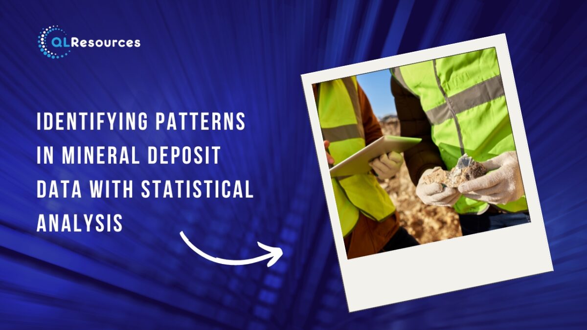
Identifying patterns in mineral deposit data with statistical analysis

Mining companies need to estimate the quantity and quality of minerals in a deposit to make informed decisions about where to focus their extraction efforts and how to optimise their operations. The process of mineral resource estimation involves analysing various data sets, including geological and geochemical data, to identify patterns in the mineral deposit. One way to identify these patterns is through statistical analysis, which involves applying mathematical and statistical techniques to the data. Here are some ways in which statistical analysis can be used to identify patterns in mineral deposit data:

1. Distribution Analysis

Distribution analysis is a statistical technique that involves analysing the distribution of mineral grades across a deposit. By analysing the distribution of grades, mining companies can identify areas of the deposit that have higher concentrations of valuable minerals. This can help mining companies target their extraction efforts in these areas to maximise the yield of the deposit.

2. Variography

Variography is a statistical technique that involves analysing the spatial correlation of mineral grades in the deposit. By analysing the spatial correlation, mining companies can identify areas of the deposit that have similar mineral grades. This can help mining companies create more accurate models of the deposit, which can be used to optimise extraction efforts.

3. Kriging

Kriging is a geostatistical technique that involves predicting the mineral grades at untested locations in the deposit based on the grades at nearby locations. Kriging can help mining companies create more accurate models of the deposit and estimate the quantity and quality of minerals in the deposit. This information can be used to optimise mining operations and increase the overall yield of the deposit.

4. Cluster Analysis

Cluster analysis is a statistical technique that involves grouping similar data points together based on their characteristics. Mining companies can use cluster analysis to group areas of the deposit that have similar mineral characteristics, such as grade and texture. This can help mining companies identify areas of the deposit that have higher concentrations of valuable minerals and optimise their extraction efforts accordingly.

5. Principal Component Analysis

Principal component analysis is a statistical technique that involves reducing the dimensionality of a data set by identifying the most important variables. Mining companies can use principal component analysis to identify the most important variables that contribute to the mineral grade and texture of the deposit. This information can be used to optimise extraction efforts and increase the overall yield of the deposit.

6. Regression Analysis

Regression analysis is a statistical technique that involves analysing the relationship between two or more variables. Mining companies can use regression analysis to identify the relationship between mineral grades and other variables, such as the geological characteristics of the deposit. This information can be used to optimise extraction efforts and increase the overall yield of the deposit.

7. Multivariate Analysis

Multivariate analysis is a statistical technique that involves analysing multiple variables simultaneously to identify patterns in the data. Mining companies can use multivariate analysis to identify the relationship between mineral grades, geological characteristics, and other variables. This information can be used to create more accurate models of the deposit and optimise extraction efforts.

In conclusion, statistical analysis is an essential tool for identifying patterns in mineral deposit data. By applying mathematical and statistical techniques to the data, mining companies can create more accurate models of the deposit and estimate the quantity and quality of minerals in the deposit. This information can be used to optimise mining operations, increase the efficiency of resource extraction, and improve the overall yield of the deposit. Furthermore, as the field of data analysis continues to evolve, new techniques and approaches are being developed that can further improve the accuracy and efficiency of mineral resource estimation in the mining industry.

Categories
Mining

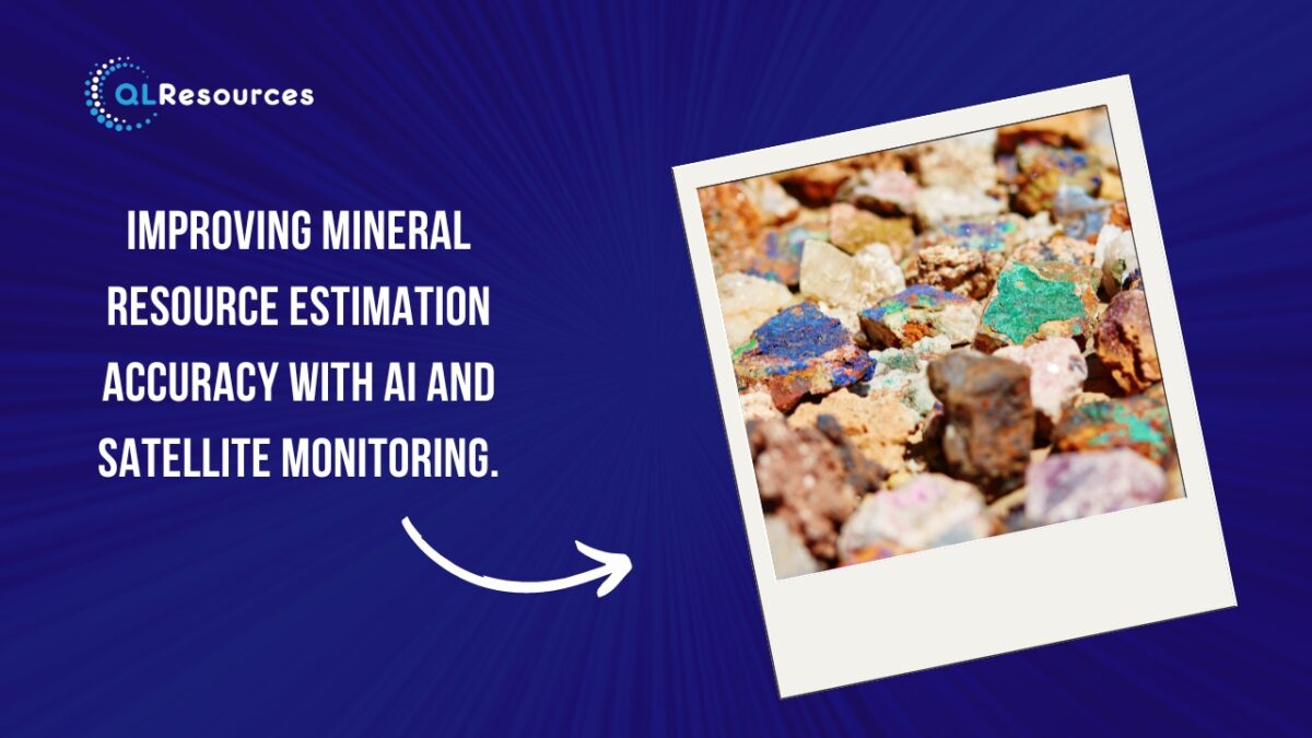
Improving mineral resource estimation accuracy with AI and satellite monitoring.

Mineral resource estimation is a critical aspect of mining, as it involves estimating the quantity and quality of minerals in the deposit. Accurate resource estimation is essential for mining companies to make informed decisions about where to focus their extraction efforts and how to optimise their operations. However, traditional resource estimation techniques can be time-consuming and prone to errors. Fortunately, the combination of artificial intelligence (AI) and satellite monitoring can significantly improve the accuracy of mineral resource estimation. Here are some ways AI and satellite monitoring can achieve this:

Better Data Collection

AI can help mining companies collect more accurate and comprehensive data about the mineral deposit. This includes data collected from various sources such as satellite imagery, drones, and ground sensors. Machine learning algorithms can then process and analyse this data to identify patterns, anomalies, and other important insights. This can help mining companies better understand the characteristics of the mineral deposit and optimise their extraction methods.

Accurate Mapping

AI can help improve the accuracy of mapping the mineral deposit by using advanced algorithms to identify the most appropriate statistical models to represent the data. This can help mining companies create more accurate models of the deposit, which can be used to optimise mining operations. Moreover, satellite monitoring can provide high-resolution images of the deposit which can be used to identify areas with high mineral concentration.

Improved Geospatial Analysis

Satellite monitoring can provide mining companies with an abundance of geospatial data that can be analysed using machine learning algorithms. These algorithms can identify patterns in the data, such as the sise and shape of mineral deposits, that can be used to improve resource estimation accuracy. Geospatial data can be combined with other data sources, such as geological surveys, to create a more accurate picture of the mineral deposit.

Real-Time Monitoring

AI and satellite monitoring can provide real-time monitoring of mining operations, which can help improve resource estimation accuracy. For example, satellite imagery can be used to monitor changes in the mineral deposit over time, while sensors can be used to monitor the condition of mining equipment and detect anomalies. This real-time monitoring can help mining companies identify areas where they can improve their operations and optimise their resource extraction.

Improved Modeling

AI can help mining companies create more accurate models of the mineral deposit by analysing large datasets and identifying the most appropriate statistical models to represent the data. These models can be used to estimate the quantity and quality of minerals in the deposit, as well as to identify areas of the deposit that are most valuable. This information can be used to optimise mining operations and increase the efficiency of resource extraction.

Increased Efficiency

AI and satellite monitoring can help mining companies increase the efficiency of their operations by identifying areas of the deposit that are most valuable and focusing their extraction efforts accordingly. This can help reduce waste and increase the overall yield of the mining operation. Moreover, satellite monitoring can provide a real-time analysis of the mineral deposit, which can be used to optimise the location of mining equipment and reduce the overall time required for the extraction process.

Improved Safety

AI and satellite monitoring can help improve safety in mining operations by providing real-time monitoring of equipment and personnel. For example, sensors can be used to monitor the condition of mining equipment and alert operators to any potential issues before they become serious. This can help reduce the risk of accidents and improve overall safety in the mine.

In conclusion, AI and satellite monitoring can significantly improve the accuracy of mineral resource estimation in mining operations. By using advanced algorithms to analyse large datasets and providing real-time monitoring of mining operations, mining companies can optimise their resource extraction and increase their overall efficiency. Furthermore, these technologies can help improve safety and reduce the environmental impact of mining operations, making the industry more sustainable and socially responsible. As these technologies continue to evolve and become more advanced, the accuracy and efficiency of mineral resource estimation.

Categories
Mining

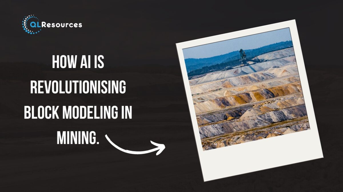
How AI is revolutionising block modeling in mining.

Artificial intelligence (AI) has been making significant strides in revolutionising the mining industry, particularly in the field of block modeling. Block modeling is a crucial aspect of the mining process that involves creating a 3D digital model of the mineral deposit to determine the optimal way to extract the minerals from the ground. Here are some ways AI is revolutionising block modeling in mining:

Improved Data Collection and Processing

AI can improve the accuracy and efficiency of data collection and processing by automating certain tasks. This includes collecting data from various sources such as sensors, drones, and satellite imagery. Machine learning algorithms can then process and analyse this data to identify patterns, anomalies, and other important insights. This can help mining companies better understand the characteristics of the mineral deposit and optimise their extraction methods.

Better Geometric Modeling

Geometric modeling is a critical aspect of block modeling, as it involves creating a 3D model of the mineral deposit. AI can improve geometric modeling by using advanced algorithms to identify the most appropriate statistical models to represent the data. This can help mining companies create more accurate models of the deposit, which can be used to optimise mining operations.

Improved Resource Estimation

Resource estimation is a critical aspect of block modeling, as it involves estimating the quantity and quality of minerals in the deposit. AI can help improve resource estimation by using machine learning algorithms to analyse large datasets and identify the most accurate and reliable estimation techniques. This can help mining companies more accurately estimate the value of the mineral deposit and optimise their extraction methods accordingly.

Increased Automation

AI can help automate certain tasks in block modeling, which can lead to increased efficiency and cost savings for mining companies. For example, AI can be used to automatically generate 3D models of the deposit based on data collected from various sources. It can also be used to automatically update these models as new data becomes available. This can help mining companies save time and resources and improve the accuracy of their models.

Better Decision Making

AI can help mining companies make better decisions by providing them with insights and recommendations based on data analysis. For example, machine learning algorithms can be used to identify patterns in data that may indicate the presence of valuable minerals. This can help mining companies make better decisions about where to focus their extraction efforts and how to optimise their operations.

Improved Safety

AI can help improve safety in mining operations by providing real-time monitoring of equipment and personnel. For example, sensors can be used to monitor the condition of mining equipment and alert operators to any potential issues before they become serious. This can help reduce the risk of accidents and improve overall safety in the mine.

Environmental Sustainability

AI can help mining companies achieve greater environmental sustainability by providing insights into the impact of their operations on the environment. For example, machine learning algorithms can be used to analyse data on air and water quality, soil composition, and other environmental factors. This can help mining companies identify areas where they can reduce their environmental impact and develop more sustainable mining practices.

In conclusion, AI is revolutionising block modeling in the mining industry by improving data collection and processing, geometric modeling, resource estimation, automation, decision making, safety, and environmental sustainability. As mining companies continue to adopt and refine AI technologies, they can expect to see greater efficiency, cost savings, and overall improvements in their operations.

Categories
Mining

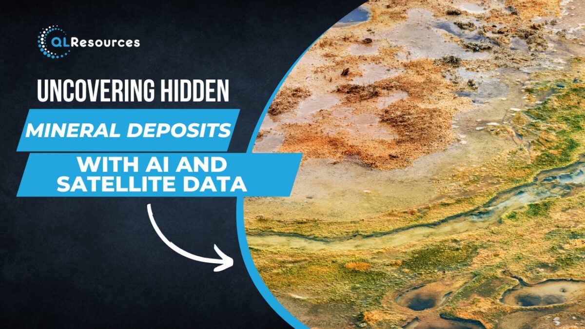
Uncovering Hidden Mineral Deposits with AI and Satellite Data

The mining industry has traditionally relied on geological surveys, drilling, and other forms of exploration to locate mineral deposits. However, these methods can be time-consuming, expensive, and sometimes ineffective. In recent years, advances in artificial intelligence (AI) and satellite technology have opened up new possibilities for mineral exploration. In this article, we will explore how AI and satellite data can be used to uncover hidden mineral deposits.

Geological mapping

Geological mapping is an essential part of mineral exploration, and satellite technology can help to make this process faster and more accurate. Satellite images can be used to create high-resolution maps of geological features such as faults, folds, and mineral veins. AI can then be used to analyse these maps and identify patterns that may indicate the presence of mineral deposits.

Mineral identification

Once a mineral deposit has been identified, it is important to determine the type of minerals present. This information can help mining companies to assess the economic viability of the deposit and plan their mining operations accordingly. Spectral imaging is one technique that can be used to identify minerals based on their unique spectral signatures. This involves analysing reflected sunlight from the Earth’s surface to identify the wavelengths of light that are absorbed or reflected by different minerals. AI algorithms can then be used to analyse this data and identify the minerals present.

Mineral prospecting

Satellite data can be used to identify areas that may be prospective for mineral exploration. For example, satellite images can be used to identify areas with geological features that are known to host mineral deposits. AI algorithms can then be used to analyse this data and identify patterns that may indicate the presence of mineral deposits. This can help mining companies to prioritise their exploration efforts and reduce the time and cost involved in prospecting.

Environmental impact assessment

Mining activities can have a significant impact on the environment, and it is important to assess these impacts before beginning mining operations. Satellite data can be used to monitor environmental factors such as water quality, land use, and vegetation cover. AI algorithms can then be used to analyse this data and identify potential environmental impacts. This information can be used to develop mitigation strategies and ensure that mining activities are carried out in an environmentally responsible manner.

Safety monitoring

Mining can be a dangerous occupation, and safety is a top priority for mining companies. Satellite data can be used to monitor mining activities and identify potential safety hazards such as unstable terrain or equipment failures. AI algorithms can then be used to analyse this data and alert mining operators to potential safety hazards.

In conclusion, AI and satellite data have the potential to revolutionise the way mineral deposits are located, explored, and mined. By using these technologies, mining companies can reduce the time and cost involved in exploration, prioritise their efforts, and ensure that mining activities are carried out in an environmentally responsible and safe manner. However, it is important to note that these technologies are not a panacea, and traditional geological survey techniques will still be necessary in many cases. Ultimately, the key to successful mineral exploration will be to integrate the strengths of both traditional and new technologies.