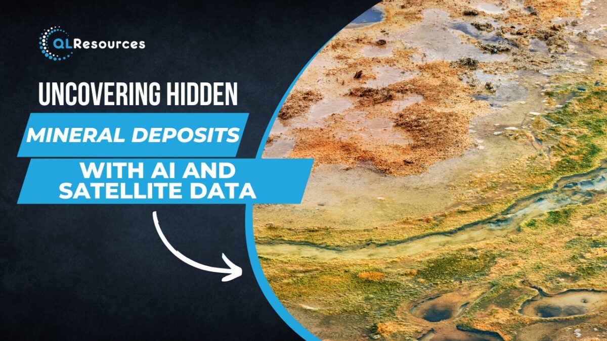
The mining industry has traditionally relied on geological surveys, drilling, and other forms of exploration to locate mineral deposits. However, these methods can be time-consuming, expensive, and sometimes ineffective. In recent years, advances in artificial intelligence (AI) and satellite technology have opened up new possibilities for mineral exploration. In this article, we will explore how AI and satellite data can be used to uncover hidden mineral deposits.
Geological mapping
Geological mapping is an essential part of mineral exploration, and satellite technology can help to make this process faster and more accurate. Satellite images can be used to create high-resolution maps of geological features such as faults, folds, and mineral veins. AI can then be used to analyse these maps and identify patterns that may indicate the presence of mineral deposits.
Mineral identification
Once a mineral deposit has been identified, it is important to determine the type of minerals present. This information can help mining companies to assess the economic viability of the deposit and plan their mining operations accordingly. Spectral imaging is one technique that can be used to identify minerals based on their unique spectral signatures. This involves analysing reflected sunlight from the Earth’s surface to identify the wavelengths of light that are absorbed or reflected by different minerals. AI algorithms can then be used to analyse this data and identify the minerals present.
Mineral prospecting
Satellite data can be used to identify areas that may be prospective for mineral exploration. For example, satellite images can be used to identify areas with geological features that are known to host mineral deposits. AI algorithms can then be used to analyse this data and identify patterns that may indicate the presence of mineral deposits. This can help mining companies to prioritise their exploration efforts and reduce the time and cost involved in prospecting.
Environmental impact assessment
Mining activities can have a significant impact on the environment, and it is important to assess these impacts before beginning mining operations. Satellite data can be used to monitor environmental factors such as water quality, land use, and vegetation cover. AI algorithms can then be used to analyse this data and identify potential environmental impacts. This information can be used to develop mitigation strategies and ensure that mining activities are carried out in an environmentally responsible manner.
Safety monitoring
Mining can be a dangerous occupation, and safety is a top priority for mining companies. Satellite data can be used to monitor mining activities and identify potential safety hazards such as unstable terrain or equipment failures. AI algorithms can then be used to analyse this data and alert mining operators to potential safety hazards.
In conclusion, AI and satellite data have the potential to revolutionise the way mineral deposits are located, explored, and mined. By using these technologies, mining companies can reduce the time and cost involved in exploration, prioritise their efforts, and ensure that mining activities are carried out in an environmentally responsible and safe manner. However, it is important to note that these technologies are not a panacea, and traditional geological survey techniques will still be necessary in many cases. Ultimately, the key to successful mineral exploration will be to integrate the strengths of both traditional and new technologies.