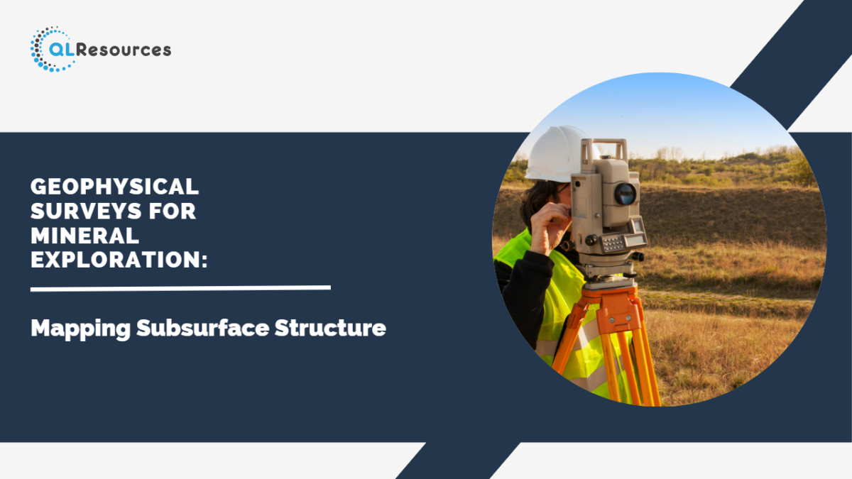
Mineral exploration is a complex and challenging process that involves identifying potential mineral deposits hidden beneath the Earth’s surface. Geophysical surveys play a crucial role in this exploration, providing valuable insights into the subsurface structures and helping geologists and mining companies make informed decisions. In this blog post, we will explore the significance of geophysical surveys in mineral exploration and how they contribute to mapping subsurface structures.
1. Understanding Geophysical Surveys: Geophysical surveys involve the use of various instruments and techniques to measure and analyse the physical properties of rocks, sediments, and other materials below the Earth’s surface. These surveys provide valuable data on factors such as density, magnetism, conductivity, and seismic responses. By interpreting these data, geoscientists can gain insights into the subsurface geology, identifying potential mineral deposits and mapping the structures that host them.
2. Identifying Target Areas: Geophysical surveys help geologists narrow down their search for mineral deposits by identifying target areas with high mineralisation potential. By measuring and analysing the physical properties of the rocks and sediments, geophysicists can identify anomalies or deviations from the expected patterns. These anomalies may indicate the presence of mineralised zones, alteration patterns, or geological structures that are favorable for mineral deposition. Geophysical surveys provide a valuable starting point for subsequent exploration activities.
3. Mapping Subsurface Structures: One of the key objectives of geophysical surveys in mineral exploration is to map subsurface structures. Geophysical techniques such as seismic surveys, magnetic surveys, and electrical resistivity surveys provide valuable information about the rock formations, faults, fractures, and other geological features that can influence the distribution of mineral deposits. By mapping these subsurface structures, geologists can better understand the geological history of an area and identify areas of interest for further exploration.
4. Integration with Other Exploration Methods: Geophysical surveys are often integrated with other exploration methods, such as geological mapping, geochemical sampling, and drilling. The combination of geophysical data with geological and geochemical data provides a comprehensive understanding of the subsurface geology and the potential mineralisation processes. By integrating multiple datasets, geologists can refine their exploration models, prioritise drilling targets, and improve the efficiency of mineral exploration programs.
5. Cost-Effective and Non-Invasive: Geophysical surveys offer a cost-effective and non-invasive approach to mineral exploration. Compared to traditional drilling methods, which can be expensive and time-consuming, geophysical surveys provide a means of gathering valuable data without extensive disturbance to the environment. By obtaining a preliminary understanding of subsurface structures through geophysical surveys, exploration efforts can be targeted more efficiently, reducing costs and minimising the environmental impact.
6. Advancements in Technology: Advancements in geophysical survey technology have significantly enhanced the accuracy and resolution of subsurface mapping. Modern instruments and software allow for more detailed data collection and interpretation, enabling geoscientists to better visualise and analyse subsurface structures. High-resolution techniques, such as ground-penetrating radar (GPR) and induced polarisation (IP), have revolutionised the way subsurface structures are mapped, providing greater insights into mineral exploration.
Conclusion: Geophysical surveys are invaluable tools in mineral exploration, allowing geologists to map subsurface structures and identify potential mineral deposits. By interpreting the physical properties of rocks and sediments, geophysicists can identify target areas and refine exploration efforts. Through the integration of geophysical data with other exploration methods, mining companies can make informed decisions about drilling targets and optimise their exploration programs. As technology continues to advance, geophysical surveys will continue to play a crucial role in the successful discovery and exploitation of mineral resources.
